
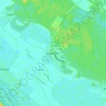
Kaarßen topographic map
Interactive map
Click on the map to display elevation.
About this map
Name: Kaarßen topographic map, elevation, terrain.
Location: Kaarßen, Lüneburg, Niedersachsen, 29456, Deutschland (53.17376 11.02353 53.21376 11.06353)
Average elevation: 46 ft
Minimum elevation: 26 ft
Maximum elevation: 105 ft