
Pulwama topographic map
Interactive map
Click on the map to display elevation.
About this map
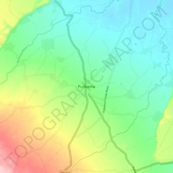
Name: Pulwama topographic map, elevation, terrain.
Location: Pulwama, Srīnagar, Badgam, Jammu and Kashmir, 192301, India (33.83569 74.86031 33.91569 74.94031)
Average elevation: 5,407 ft
Minimum elevation: 5,217 ft
Maximum elevation: 5,814 ft