
Waudrez topographic map
Interactive map
Click on the map to display elevation.
About this map
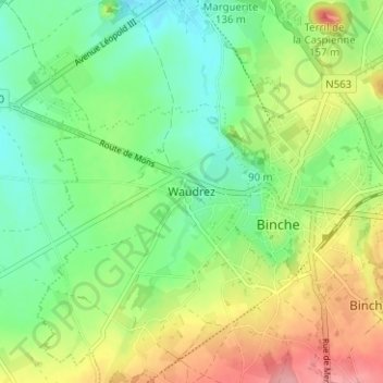
Name: Waudrez topographic map, elevation, terrain.
Location: Waudrez, Binche, La Louvière, Hainaut, Wallonie, 7131, Belgique (50.39378 4.13098 50.43378 4.17098)
Average elevation: 305 ft
Minimum elevation: 171 ft
Maximum elevation: 518 ft
Other topographic maps
Click on a map to view its topography, its elevation and its terrain.