
Pias topographic map
Interactive map
Click on the map to display elevation.
About this map
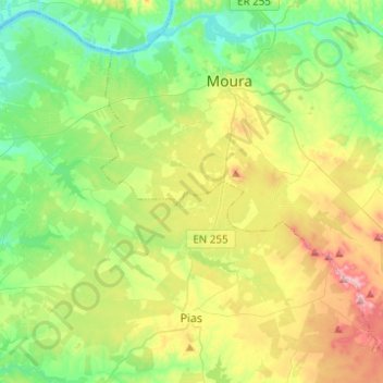
Name: Pias topographic map, elevation, terrain.
Location: Pias, Serpa, Beja, Baixo Alentejo, Alentejo, Portugal (37.99335 -7.64232 38.17640 -7.39640)
Average elevation: 574 ft
Minimum elevation: 240 ft
Maximum elevation: 1,237 ft