
Hacılar topographic map
Interactive map
Click on the map to display elevation.
About this map
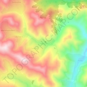
Name: Hacılar topographic map, elevation, terrain.
Location: Hacılar, Gədəbəy, Aserbaidschan (40.68854 45.42197 40.72854 45.46197)
Average elevation: 5,292 ft
Minimum elevation: 4,255 ft
Maximum elevation: 6,165 ft