
Colldejou topographic map
Interactive map
Click on the map to display elevation.
About this map
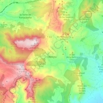
Name: Colldejou topographic map, elevation, terrain.
Location: Colldejou, Baix Camp, Tarragona, Catalonia, 43310, Spain (41.08230 0.82685 41.12226 0.91306)
Average elevation: 1,575 ft
Minimum elevation: 469 ft
Maximum elevation: 3,018 ft