
青衣 topographic map
Interactive map
Click on the map to display elevation.
About this map
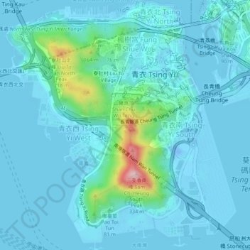
Name: 青衣 topographic map, elevation, terrain.
Location: 青衣, 大王下村, 葵青區, 新界, 香港, 中国 (22.32502 114.07907 22.36379 114.11767)
Average elevation: 112 ft
Minimum elevation: -89 ft
Maximum elevation: 984 ft