
田当 topographic map
Interactive map
Click on the map to display elevation.
About this map
Name: 田当 topographic map, elevation, terrain.
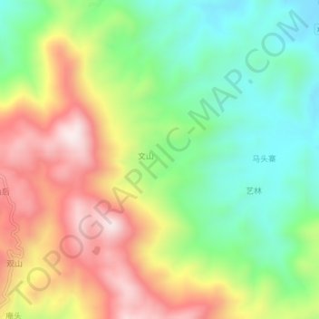
Location: 田当, 泉州市, 南安市, 福建省, 中国 (25.06528 118.32472 25.10528 118.36472)
Average elevation: 1,040 ft
Minimum elevation: 187 ft
Maximum elevation: 2,169 ft