
Medracen topographic map
Interactive map
Click on the map to display elevation.
About this map
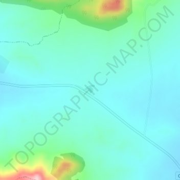
Name: Medracen topographic map, elevation, terrain.
Location: Medracen, Boumia, Daïra El Madher, Batna, Algérie (35.70680 6.43431 35.70734 6.43498)
Average elevation: 2,976 ft
Minimum elevation: 2,844 ft
Maximum elevation: 3,573 ft