
Büdingen topographic map
Interactive map
Click on the map to display elevation.
About this map
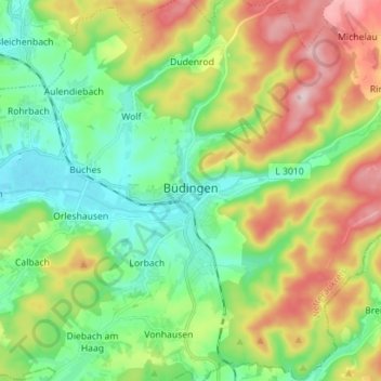
Name: Büdingen topographic map, elevation, terrain.
Location: Büdingen, Wetteraukreis, Hesse, Allemagne (50.24683 9.07018 50.33634 9.21095)
Average elevation: 712 ft
Minimum elevation: 404 ft
Maximum elevation: 1,260 ft