Geolocate

Emigrant Gap topographic map

Click on the map to display elevation.

About this map

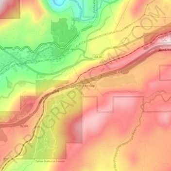
Name: Emigrant Gap topographic map, elevation, terrain.

Location: Emigrant Gap, Placer County, California, 95715, United States (39.28133 -120.68035 39.32133 -120.64035)

Average elevation: 5,128 ft

Minimum elevation: 4,124 ft

Maximum elevation: 5,787 ft

Placer County trails, hiking, mountain biking, running and outdoor activities

Other topographic maps

Click on a map to view its topography, its elevation and its terrain.

Tahoe Vista

United States > California > Placer County > Kings Beach

Average elevation: 6,644 ft

Avery's Pond

United States > California > Placer County

Average elevation: 620 ft

Lincoln

United States > California > Placer County

Average elevation: 112 ft

Dollar Point

United States > California > Placer County

Average elevation: 6,414 ft

Auburn Ravine

United States > California > Placer County > Auburn

Average elevation: 814 ft

Deer Lake

United States > California > Placer County

Average elevation: 6,624 ft

Lincoln

United States > California > Placer County

Average elevation: 197 ft

Gear up for your next adventure:

👟Trail Running Shoes - Lightweight shoes for trail runners
🥤Water Filter Bottle - All‑in‑one filter bottle for safe hydration
🧷Carabiner Set - Durable clips for gear attachment
🗃️Trail First Aid Kit - Essential kit for outdoor injuries and emergencies
🦶Carbon Trekking Poles - Reduce knee impact on steep descents with ultra-light poles

As an Amazon Associate, this site earns from qualifying purchases at no extra cost to you.