Geolocate

Roriz topographic map

Click on the map to display elevation.

About this map

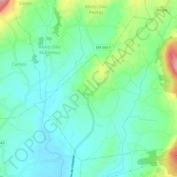
Name: Roriz topographic map, elevation, terrain.

Location: Roriz, Barcelos, Braga, Portugal (41.57193 -8.60681 41.59878 -8.56275)

Average elevation: 223 ft

Minimum elevation: 85 ft

Maximum elevation: 594 ft

Gear up for your next adventure:

🌡️Portable Weather Meter - Track weather conditions on the trail
🪶Thermal Camp Blanket - Extra warmth for cold nights
GPS Sports Watch - GPS watch for running, hiking and training
🔌Solar Panel Charger - Charge gear sustainably outdoors
📱Heavy-Duty Phone Cases - Drop-proof and waterproof protection for outdoor navigation

As an Amazon Associate, this site earns from qualifying purchases at no extra cost to you.