
Hvalba topographic map
Interactive map
Click on the map to display elevation.
About this map
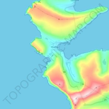
Name: Hvalba topographic map, elevation, terrain.
Location: Hvalba, Suðuroy region, Territorial waters of Faroe Islands (61.56057 -7.00289 61.62911 -6.84223)
Average elevation: 312 ft
Minimum elevation: -7 ft
Maximum elevation: 1,785 ft