
Ryerson Park topographic map
Interactive map
Click on the map to display elevation.
About this map
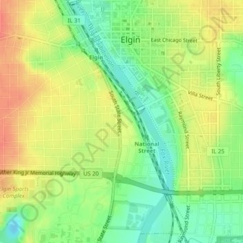
Name: Ryerson Park topographic map, elevation, terrain.
Location: Ryerson Park, 355, Elgin, Kane County, Illinois, USA (42.02756 -88.28263 42.02872 -88.28198)
Average elevation: 764 ft
Minimum elevation: 682 ft
Maximum elevation: 837 ft