
Falkland topographic map
Interactive map
Click on the map to display elevation.
About this map
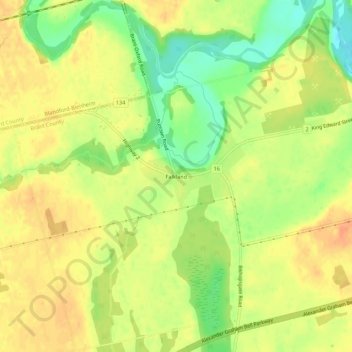
Name: Falkland topographic map, elevation, terrain.
Location: Falkland, Brant County, Ontario, N3L 3A4, Kanada (43.15017 -80.45248 43.19017 -80.41248)
Average elevation: 850 ft
Minimum elevation: 768 ft
Maximum elevation: 902 ft