
Ohoka topographic map
Interactive map
Click on the map to display elevation.
About this map
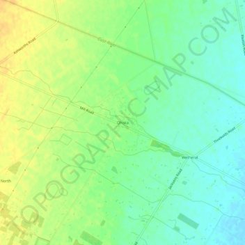
Name: Ohoka topographic map, elevation, terrain.
Location: Ohoka, Waimakariri District, Canterbury, 7692, New Zealand (-43.38306 172.55766 -43.34306 172.59766)
Average elevation: 72 ft
Minimum elevation: 26 ft
Maximum elevation: 121 ft