
Oakford topographic map
Interactive map
Click on the map to display elevation.
About this map
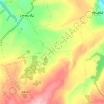
Name: Oakford topographic map, elevation, terrain.
Location: Oakford, Ceredigion, Wales, SA47 0RW, United Kingdom (52.17833 -4.28640 52.21833 -4.24640)
Average elevation: 469 ft
Minimum elevation: 151 ft
Maximum elevation: 768 ft