
Ranjangaon topographic map
Interactive map
Click on the map to display elevation.
About this map
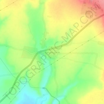
Name: Ranjangaon topographic map, elevation, terrain.
Location: Ranjangaon, Shirur, Pune District, Maharashtra, India (18.73364 74.22458 18.77364 74.26458)
Average elevation: 2,054 ft
Minimum elevation: 1,916 ft
Maximum elevation: 2,198 ft