
Parque de las aguas topographic map
Interactive map
Click on the map to display elevation.
About this map
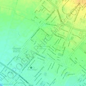
Name: Parque de las aguas topographic map, elevation, terrain.
Average elevation: 46 ft
Minimum elevation: 0 ft
Maximum elevation: 98 ft
Other topographic maps
Click on a map to view its topography, its elevation and its terrain.
Vista Alegre
Perú > La Libertad > Víctor Larco Herrera > Vista Alegre
Vista Alegre, Víctor Larco Herrera, Provincia de Trujillo, La Libertad, 13009, Perú
Average elevation: 43 ft