
La Gloria topographic map
Interactive map
Click on the map to display elevation.
About this map
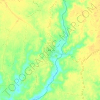
Name: La Gloria topographic map, elevation, terrain.
Location: La Gloria, Tomatlán, Jalisco, 48455, México (19.92305 -105.39117 19.96305 -105.35117)
Average elevation: 72 ft
Minimum elevation: 16 ft
Maximum elevation: 98 ft