
Sawtalo Sar topographic map
Interactive map
Click on the map to display elevation.
About this map
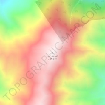
Name: Sawtalo Sar topographic map, elevation, terrain.
Location: Sawtalo Sar, Dara-I-Pech, Kunar Province, Afghanistan (34.86954 70.96013 34.86964 70.96023)
Average elevation: 7,953 ft
Minimum elevation: 6,135 ft
Maximum elevation: 9,229 ft