
Imaza topographic map
Interactive map
Click on the map to display elevation.
About this map
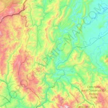
Name: Imaza topographic map, elevation, terrain.
Location: Imaza, Bagua, Amazonas, Peru (-5.48599 -78.71090 -4.49945 -78.05675)
Average elevation: 3,179 ft
Minimum elevation: 584 ft
Maximum elevation: 11,460 ft