
Kunjila topographic map
Interactive map
Click on the map to display elevation.
About this map
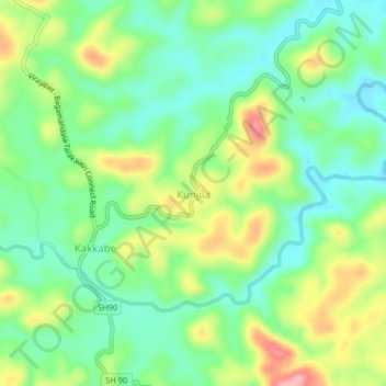
Name: Kunjila topographic map, elevation, terrain.
Location: Kunjila, Madikeri taluku, Kodagu, Karnataka, 571212, India (12.24405 75.63546 12.28405 75.67546)
Average elevation: 2,999 ft
Minimum elevation: 2,841 ft
Maximum elevation: 3,271 ft