
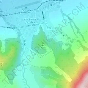
Žbír topographic map
Interactive map
Click on the map to display elevation.
About this map
Name: Žbír topographic map, elevation, terrain.
Location: Žbír, okres Humenné, 06783, Slovaquie (48.92433 22.00191 48.92443 22.00201)
Average elevation: 807 ft
Minimum elevation: 541 ft
Maximum elevation: 1,824 ft