
Leveroy topographic map
Interactive map
Click on the map to display elevation.
About this map
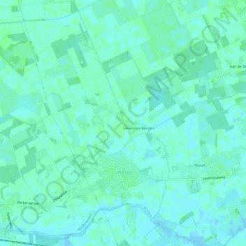
Name: Leveroy topographic map, elevation, terrain.
Location: Leveroy, Nederweert, Limburg, Niederlande (51.24093 5.79913 51.27343 5.85575)
Average elevation: 98 ft
Minimum elevation: 89 ft
Maximum elevation: 108 ft