Geolocate

Ras Jebel topographic map

Click on the map to display elevation.

Ras Jebel

Ras Jebel is set on a hill overlooking the Mediterranean Sea. It has an altitude of 53 meters (174 ft).

Wikipedia (CC-BY-SA 3.0)

About this map

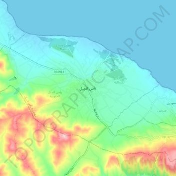
Name: Ras Jebel topographic map, elevation, terrain.

Location: Ras Jebel, رأس الجبل الشمالية, معتمدية رأس الجبل, Bizerte, 7070, Tunisia (37.17462 10.08456 37.25462 10.16456)

Average elevation: 203 ft

Minimum elevation: -7 ft

Maximum elevation: 853 ft

Gear up for your next adventure:

💧Water Filtration Bottles - Safely drink from streams and lakes while exploring
🧢Sun Protection Hats - Wide-brimmed and UPF-rated hats for high-altitude sun safety
🪶Survival Guide Book - Expert advice for emergency preparedness
🔥Plasma Lighters - Windproof lighters that work in any weather condition
❄️Traction Cleats - Prevent slips on icy trails during winter hikes

As an Amazon Associate, this site earns from qualifying purchases at no extra cost to you.