
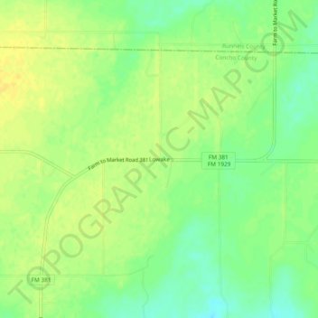
Lowake topographic map
Interactive map
Click on the map to display elevation.
About this map
Name: Lowake topographic map, elevation, terrain.
Location: Lowake, Concho County, Texas, 76855, United States (31.54627 -100.09592 31.58627 -100.05592)
Average elevation: 1,742 ft
Minimum elevation: 1,699 ft
Maximum elevation: 1,772 ft