
Gurgéia topographic map
Interactive map
Click on the map to display elevation.
About this map
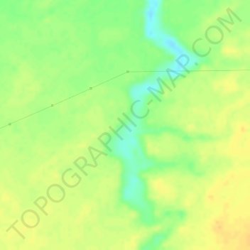
Name: Gurgéia topographic map, elevation, terrain.
Average elevation: 167 ft
Minimum elevation: 102 ft
Maximum elevation: 203 ft
Other topographic maps
Click on a map to view its topography, its elevation and its terrain.
Ilha Mucunandiba
Brasil > Maranhão > Humberto de Campos
Ilha Mucunandiba, Humberto de Campos, Microrregião dos Lencóis Maranhenses, Mesorregião Norte Maranhense, Maranhão, Região Nordeste, Brasil
Average elevation: 10 ft