
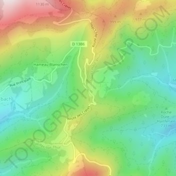
Col Amic topographic map
Interactive map
Click on the map to display elevation.
About this map
Name: Col Amic topographic map, elevation, terrain.
Average elevation: 2,638 ft
Minimum elevation: 1,926 ft
Maximum elevation: 3,799 ft
Other topographic maps
Click on a map to view its topography, its elevation and its terrain.
Vosges
France > Grand Est > Goldbach-Altenbach
Vosges, Goldbach-Altenbach, Thann-Guebwiller, Haut-Rhin, Grand Est, France métropolitaine, 68760, France
Average elevation: 2,835 ft
Firstacker
France > Grand Est > Goldbach-Altenbach
Firstacker, Route des Crêtes, Goldbach-Altenbach, Thann-Guebwiller, Haut-Rhin, Grand Est, France métropolitaine, 68760, France
Average elevation: 2,864 ft