
Lago Alajuela topographic map
Interactive map
Click on the map to display elevation.
About this map
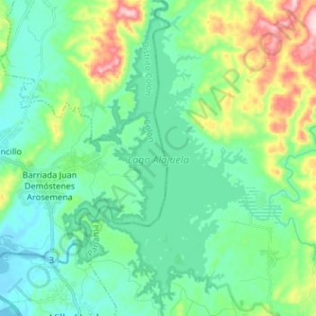
Name: Lago Alajuela topographic map, elevation, terrain.
Location: Lago Alajuela, San Juan, Distrito Colón, Colón, Panamá (9.18211 -79.62210 9.30716 -79.54744)
Average elevation: 390 ft
Minimum elevation: 92 ft
Maximum elevation: 1,319 ft