
Six Mile topographic map
Interactive map
Click on the map to display elevation.
About this map
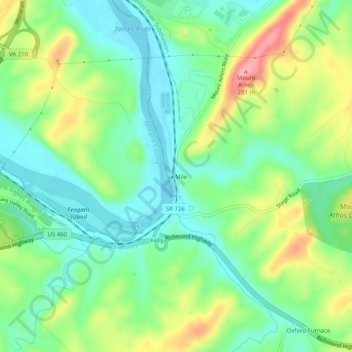
Name: Six Mile topographic map, elevation, terrain.
Location: Six Mile, Campbell County, Virginia, 24504, USA (37.37320 -79.08002 37.41320 -79.04002)
Average elevation: 614 ft
Minimum elevation: 469 ft
Maximum elevation: 886 ft