
Kannuru topographic map
Interactive map
Click on the map to display elevation.
About this map
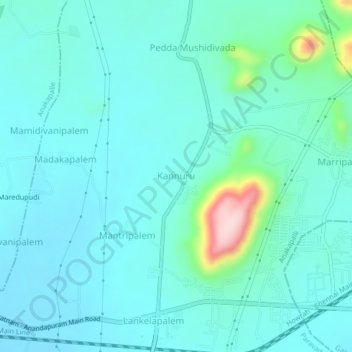
Name: Kannuru topographic map, elevation, terrain.
Location: Kannuru, Paravada, Anakapalli, Andhra Pradesh, 531019, India (17.68357 83.07887 17.72357 83.11887)
Average elevation: 233 ft
Minimum elevation: 102 ft
Maximum elevation: 945 ft
Other topographic maps
Click on a map to view its topography, its elevation and its terrain.
Lankelapalem
India > Andhra Pradesh > Paravada
Lankelapalem, Paravada, Anakapalli, Andhra Pradesh, 531019, India
Average elevation: 187 ft