
El Trigo topographic map
Interactive map
Click on the map to display elevation.
About this map
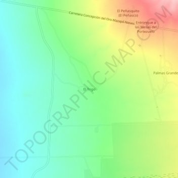
Name: El Trigo topographic map, elevation, terrain.
Location: El Trigo, Mazapil, Zacatecas, México (24.62696 -101.77492 24.66696 -101.73492)
Average elevation: 5,850 ft
Minimum elevation: 5,656 ft
Maximum elevation: 6,198 ft