
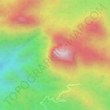
尖峰岭 topographic map
Interactive map
Click on the map to display elevation.
About this map
Name: 尖峰岭 topographic map, elevation, terrain.
Location: 尖峰岭, 乐东黎族自治县, 海南省, 中国 (18.71692 108.87135 18.71702 108.87145)
Average elevation: 3,114 ft
Minimum elevation: 1,765 ft
Maximum elevation: 4,337 ft
Other topographic maps
Click on a map to view its topography, its elevation and its terrain.