
Santa Ana topographic map
Interactive map
Click on the map to display elevation.
About this map
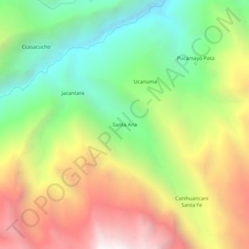
Name: Santa Ana topographic map, elevation, terrain.
Location: Santa Ana, Province of Carabaya, Puno, Peru (-14.14453 -69.87501 -14.10453 -69.83501)
Average elevation: 11,427 ft
Minimum elevation: 8,714 ft
Maximum elevation: 14,852 ft