
Rego de Água topographic map
Interactive map
Click on the map to display elevation.
About this map
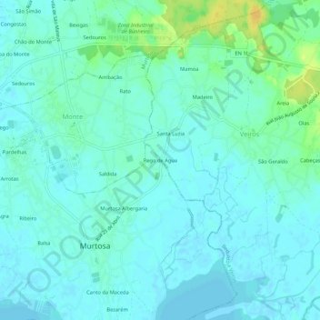
Name: Rego de Água topographic map, elevation, terrain.
Location: Rego de Água, Murtosa, Aveiro, 3870-145, Portugal (40.72754 -8.64767 40.76754 -8.60767)
Average elevation: 20 ft
Minimum elevation: -7 ft
Maximum elevation: 79 ft