
Thank you for supporting this site ❤️
Make a donation
Make a donation
Gear up for your next adventure:
As an Amazon Associate, this site earns from qualifying purchases at no extra cost to you.
薛冯 topographic map
Click on the map to display elevation.
Thank you for supporting this site ❤️
Make a donation
Make a donation
Gear up for your next adventure:
As an Amazon Associate, this site earns from qualifying purchases at no extra cost to you.
About this map
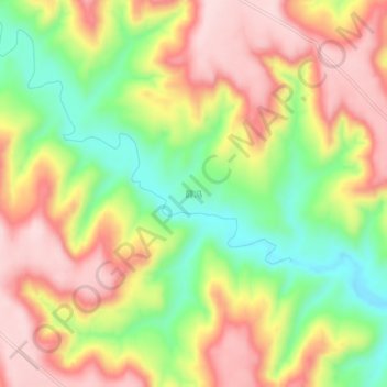
Name: 薛冯 topographic map, elevation, terrain.
Location: 薛冯, 崆峒区, 平凉市, 甘肃省, 中国 (35.57221 106.73925 35.61221 106.77925)
Average elevation: 4,800 ft
Minimum elevation: 4,318 ft
Maximum elevation: 5,233 ft
Thank you for supporting this site ❤️
Make a donation
Make a donation
Gear up for your next adventure:
As an Amazon Associate, this site earns from qualifying purchases at no extra cost to you.