
Trigaza Norte o La Zapatera topographic map
Interactive map
Click on the map to display elevation.
About this map
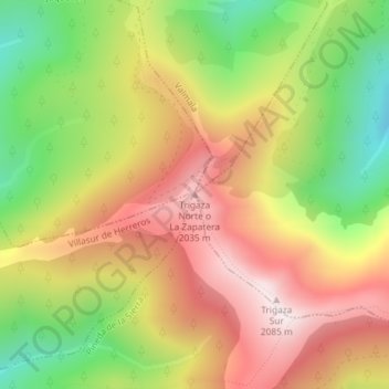
Name: Trigaza Norte o La Zapatera topographic map, elevation, terrain.
Average elevation: 5,774 ft
Minimum elevation: 4,623 ft
Maximum elevation: 6,827 ft