
Basin and Range Country Historical Marker topographic map
Interactive map
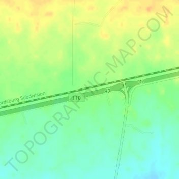
Click on the map to display elevation.
About this map
Name: Basin and Range Country Historical Marker topographic map, elevation, terrain.
Average elevation: 4,570 ft
Minimum elevation: 4,521 ft
Maximum elevation: 4,623 ft
Other topographic maps
Click on a map to view its topography, its elevation and its terrain.
Silver City
United States > New Mexico > Grant County
Silver City, Grant County, New Mexico, 88062, United States
Average elevation: 6,070 ft