
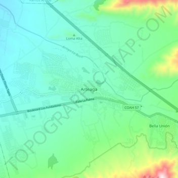
Arteaga topographic map
Interactive map
Click on the map to display elevation.
About this map
Name: Arteaga topographic map, elevation, terrain.
Location: Arteaga, Coahuila de Zaragoza, México (25.41042 -100.89238 25.49042 -100.81238)
Average elevation: 5,600 ft
Minimum elevation: 5,030 ft
Maximum elevation: 7,743 ft