
Faya-Largeau topographic map
Interactive map
Click on the map to display elevation.
About this map
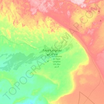
Name: Faya-Largeau topographic map, elevation, terrain.
Location: Faya-Largeau, Borkou, Tchad (17.76093 18.93532 18.08093 19.25532)
Average elevation: 909 ft
Minimum elevation: 650 ft
Maximum elevation: 1,250 ft
Other topographic maps
Click on a map to view its topography, its elevation and its terrain.