
St. Jakob - San Giacomo topographic map
Interactive map
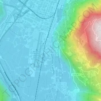
Click on the map to display elevation.
About this map
Name: St. Jakob - San Giacomo topographic map, elevation, terrain.
Average elevation: 1,421 ft
Minimum elevation: 722 ft
Maximum elevation: 4,521 ft