
Bousâada topographic map
Interactive map
Click on the map to display elevation.
About this map
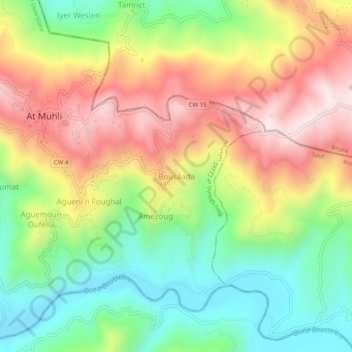
Name: Bousâada topographic map, elevation, terrain.
Location: Bousâada, Beni Mouhli, Daïra Beni Ouartilane, Sétif, Algérie (36.48927 4.90847 36.52927 4.94847)
Average elevation: 2,228 ft
Minimum elevation: 1,430 ft
Maximum elevation: 3,173 ft