
Abreiro topographic map
Interactive map
Click on the map to display elevation.
About this map
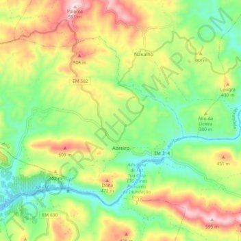
Name: Abreiro topographic map, elevation, terrain.
Location: Abreiro, Mirandela, Distrito de Bragança, Portugal (41.33369 -7.36234 41.38185 -7.27123)
Average elevation: 1,102 ft
Minimum elevation: 538 ft
Maximum elevation: 1,919 ft