
La Cirujana topographic map
Interactive map
Click on the map to display elevation.
About this map
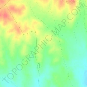
Name: La Cirujana topographic map, elevation, terrain.
Average elevation: 200 ft
Minimum elevation: 125 ft
Maximum elevation: 292 ft
Other topographic maps
Click on a map to view its topography, its elevation and its terrain.
Fuente de la Corcha
España > Andalucía > El Condado > Beas
Fuente de la Corcha, Beas, El Condado, Huelva, Andalucía, España
Average elevation: 594 ft