
三阳镇 topographic map
Interactive map
Click on the map to display elevation.
About this map
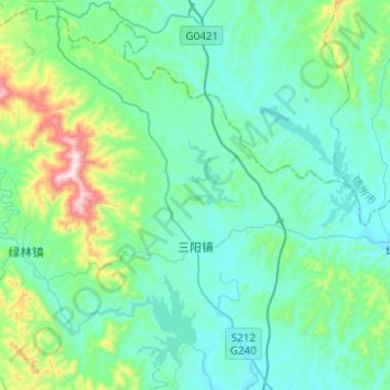
Name: 三阳镇 topographic map, elevation, terrain.
Location: 三阳镇, 京山市, 荆门市, 湖北省, 中国 (31.24258 113.03644 31.44639 113.28473)
Average elevation: 676 ft
Minimum elevation: 233 ft
Maximum elevation: 2,812 ft
Other topographic maps
Click on a map to view its topography, its elevation and its terrain.