
Attalla topographic map
Interactive map
Click on the map to display elevation.
About this map
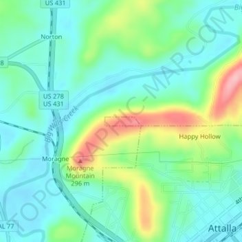
Name: Attalla topographic map, elevation, terrain.
Location: Attalla, Etowah County, Alabama, USA (34.03320 -86.10444 34.03419 -86.09957)
Average elevation: 653 ft
Minimum elevation: 522 ft
Maximum elevation: 988 ft