
安康市 / Ankang topographic map
Interactive map
Click on the map to display elevation.
About this map
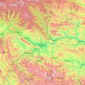
Name: 安康市 / Ankang topographic map, elevation, terrain.
Location: 安康市 / Ankang, Xianxim, 725100, RPC (31.70667 108.01660 33.84169 110.20130)
Average elevation: 3,514 ft
Minimum elevation: 604 ft
Maximum elevation: 9,370 ft
Other topographic maps
Click on a map to view its topography, its elevation and its terrain.