Armenia Dam topographic map
Interactive map
Click on the map to display elevation.
About this map
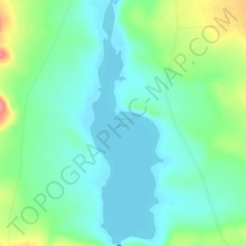
Name: Armenia Dam topographic map, elevation, terrain.
Average elevation: 5,036 ft
Minimum elevation: 4,961 ft
Maximum elevation: 5,236 ft

Click on the map to display elevation.
Name: Armenia Dam topographic map, elevation, terrain.
Average elevation: 5,036 ft
Minimum elevation: 4,961 ft
Maximum elevation: 5,236 ft