
Acuaparque Ditaires topographic map
Interactive map
Click on the map to display elevation.
About this map
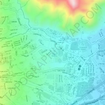
Name: Acuaparque Ditaires topographic map, elevation, terrain.
Average elevation: 5,459 ft
Minimum elevation: 5,148 ft
Maximum elevation: 6,302 ft
Other topographic maps
Click on a map to view its topography, its elevation and its terrain.
Parque Ditaires
Parque Ditaires, Itagüí, Valle de Aburrá, Antioquia, RAP del Agua y la Montaña, Colombia
Average elevation: 5,440 ft